Critical Areas Assessments
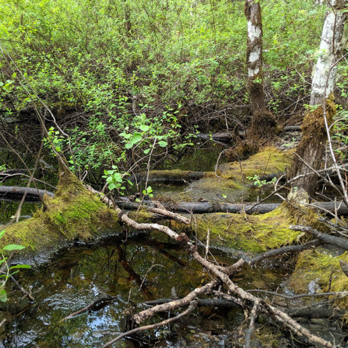
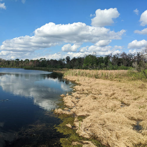
The first step for most projects is determining what site constraints exist that would restrict development, regardless of the size of the project. Determining the extent of critical areas on or near a Site is one of the baseline components upon which any site planning should be based. Critical areas include wetlands and streams, as well as steep slopes and other geological features. Our skillsets allow us to help you identify critical areas, such as wetlands, streams, wildlife habitat, potential for the occurrence of listed species, as well as address steep slopes as they relate to wildlife habitat and buffer potential.
We are unable to define steep slopes, analyze their stability, or prepare geotechnical reports – these are the domain of a geotechnical specialist. We can, however, connect you to the people who are qualified to prepare those types of documents to support your project.
We can quickly identify constraints to your Site and outline scenarios to help with those important Go or No-Go decisions on whether to pursue a site or a specific project or expansion to any existing development.
- Wetland Delineation
- Stream Delineation (Identify the ordinary high water mark)
- Identify wildlife habitat
- Identify the potential for listed species (local, state, or federal)
- Wetland Ratings and Stream Typings
Constraints Analysis & Site Planning
Once the constraints of a site have been identified, the next step is to evaluate what affect those constraints will have to a proposed development. An evaluation of the constraints of a site and how to address or modify those constraints is the core of site planning. This step can be a simple and quick analysis for rapid decision making or a more in-depth analysis to find creative solutions for heavily constrained sites. Part of this analysis is an evaluation of potential critical area impacts and appropriate mitigation strategies to compensate for any proposed impacts to critical areas.
- Site Planning
- Impact Assessment
- Mitigation Assessment
- Conceptual Mitigation Design
- Site Usability Studies

Permitting Support
Once a conceptual site plan has been established, the next step is to submit applications to the appropriate agencies to receive all land use entitlements to allow the project to be constructed. This process can be challenging, but careful planning prior to submitting any applications can reduce the uncertainties of environmental permitting. Pre-application meetings with the applicable Agencies can help smooth this permitting process, as can ensuring all Team members openly communicate and have clear direction. As with any project – a collaborative approach is best that uses team members for their strengths.
- Existing Conditions Reports [also known as Wetland Report, Wetland Study, Stream Report, etc.]
- Critical Areas Reports [Existing Conditions Report + Discussion of Project, Critical Areas Impacts, and Mitigation]
- Site Constraints Memos
- Mitigation Plans
- Alternatives Analyses
- Biological Evaluations & Assessments
- Performance Monitoring Reports
- US Army Corps of Engineers (USACE)
- US Fish and Wildlife Service (USFWS)
- National Marine Fisheries Service (NMFS)
- Nationwide and Individual 404/401 Permits
- Joint Aquatic Resource Permit Applications (JARPA)
- Washington State Department of Ecology (DOE)
- Washington State Department of Fish and Wildlife (WDFW)
- Washington State Department of Natural Resources (WDNR)
- State Environmental Protection Act (SEPA)
- Hydraulic Project Approvals (HPA)
- Forest Practices Act Notification (FPA/N)
- Local approvals for development – I can work with your engineering team in the preparation of Land Use and/or Clear & Grade Permits (label varies by jurisdiction)
- Shoreline Management Act – Shoreline Substantial Development Permits
Post-Permit Support Services
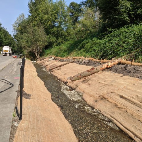
Once permits have been issued and construction of a project has begun, many sites require some level of construction oversight or performance monitoring where critical areas have been modified or mitigation plans implemented. We can help you with your post-permit support needs for implementation of mitigation plans, installation of plant material, among other items, as well as complete any short- or long-term performance monitoring required for mitigation sites.
- Construction Oversight
- Certified Erosion and Sediment Control Lead (CESCL) Services
- Performance Monitoring
- Stormwater Compliance

Violations
Sometimes things don’t go as planned and mistakes are made. Violations are already difficult. There is no reason to make them more complicated than necessary.
